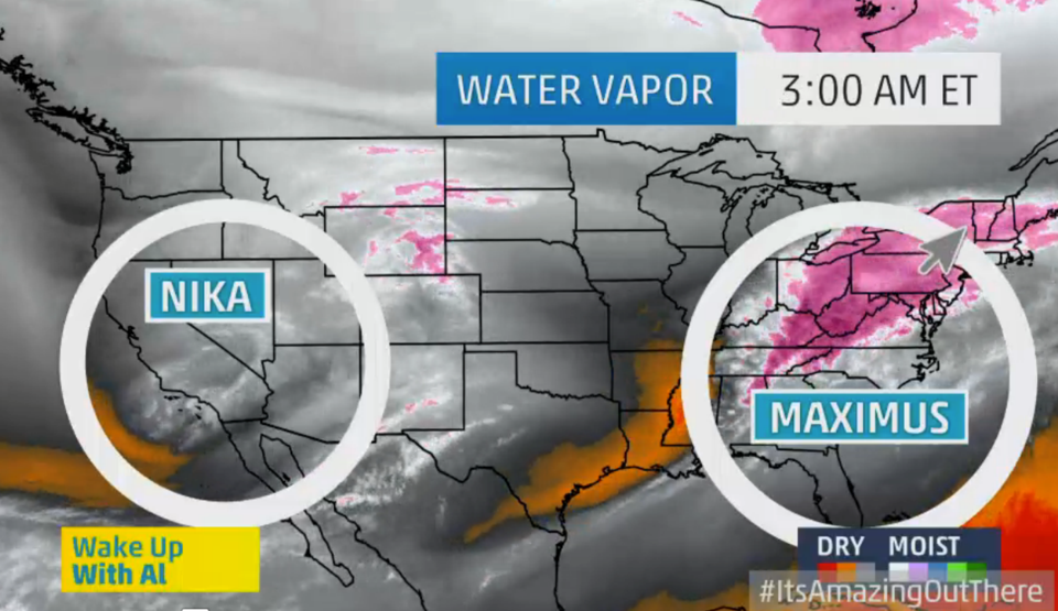
That wild flurry of snowflakes you're seeing outside right now? It's called "Storm Maximus," and it's large hand is packing a mighty punch.
Believe it or not, only a few miles south of New York City, Maximus is rain. And as close as Connecticut, it's too cold to snow.
So New York City was the unlucky recipient of the intersection of the cold and rain, according to weather.com. And already, it's dumped close to four inches of snow, with an additional 2 to 3 inches expected through 5:00pm.
Meteorologists warn that the rush-hour commute home will be slow and slushy. So drive with care.
By tomorrow, the storm will have left the city, only to be followed by another storm "Nika," by Wednesday, which could come in the form of either rain or snow, followed by cold, arctic air.
The reason meteorologist give for naming these recent storms is because they are "dynamic," in that they are producing very extreme reactions of precipitation-- snow to the north and rain to the south-- that have a national impact, touching most parts of the U.S.


