Aclima-- an environmental company that provides governments, researchers, industry and communities with intelligence to reduce air pollution and climate-changing emissions.-- will be launching its pollution air mapping initiative in Brooklyn this summer.
Through its mobile air sensing fleet, Aclima will be able to analyze and measure air pollution and greenhouse gasses, block-by-block in Brooklyn neighborhoods like East Flatbush, East New York and other neighborhoods with large communities of color, as air quality data within these communities is scarce and the company aims to understand how emissions levels can potentially affect health.
Based in San Franciso, this will be the company's first mapping in New York City. The initial deployment will be in collaboration with NewLab, the New York City Economic Development Corporation, and the Downtown Brooklyn Partnership as part of the Circular City Studio, which works to ensure that urban startups help New York become more livable, resilient and impartial.
"As we've seen with COVID-19, the health impacts of air pollution disproportionately affect communities of color," said Davida Herzl, CEO of Aclima, "which is why it's important to include potential environmental justice communities in the measurement area."
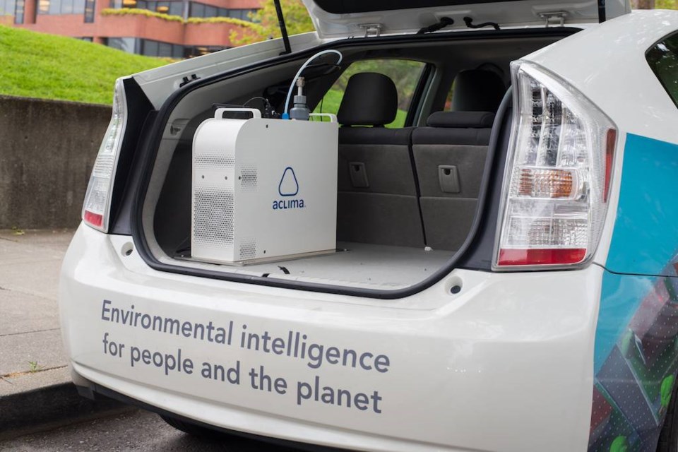
The air sensing fleet is pioneered to measure outdoor air pollution and greenhouse gas emission levels on each block for months at a time. The environmental data is then uploaded to Aclima's cloud-based platform that will be available to hyperlocal governments, communities and businesses.
The company uses various types of software to help report on hyperlocal air quality. Aclima Pro is used by the government and subscribers to analyze and report hyper-local air quality. Aclima Insights creates air quality maps and address-based lookups of hyperlocal air pollution readily available to environmental justice communities.
In Brooklyn, Aclima hopes that the results of the data will help pinpoint air quality issues, assess outcomes, initiate interventions and prioritize resources. Its mission is to create a society that is aware of its environment.
"By making science-based, street-level air pollution information publicly accessible to diverse stakeholders we aim to provide a precise and comprehensive picture of air pollution in Brooklyn," Herzl said. "Ultimately, we believe this can inspire action to reduce emissions, and protect public health."
The initial deployment will be limited to Brooklyn with plans to expand to other boroughs in the future


