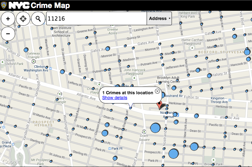
The NYPD and the Department of Information Technology and Telecommunications have released the latest interactive crime map.
The map offers a bird's-eye-view of criminal activity across all five boroughs, between January 2012 and October 2013. All the user has to do is type in an address, zip code or precinct to see how felonies stack up in their surrounding neighborhood.
"This administration has relied on data to drive its crime fighting, and this map helps enhance New Yorkers' and researchers' understanding of where felony and violent crime persists," NYPD Commissioner Ray Kelly said is a press release.
The crime data reported in the map represents the seven major felony crimes as defined by the New York State Penal Law.
Filters for the map let the user look for specific crime types in three ways visually: by precinct level, showing crime incidents per 1000 residents as a shaded map; through graduated points which correspond to the number of crimes at a given location; or as a "heat map" that marks crimes by concentration in the selected area.


